
G-LiHT v.2: Instruments & Specifications
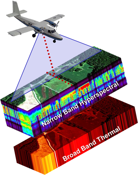
Designed to study composition, structure, and function of terrestrial surfaces using scanning LiDAR, Hyperspectral, and Thermal infrared imaging.
- Dual Scanning LiDARs
- VNIR Imaging Spectroscopy
- Broad Band Thermal Imaging
- High Resolution Aerial Photos
- Precision GPS-INS
*Specific trade names are for informational purposes only and do not constitute an endorsement by NASA.
1. Dual Scanning LiDAR: Riegl VQ 480i
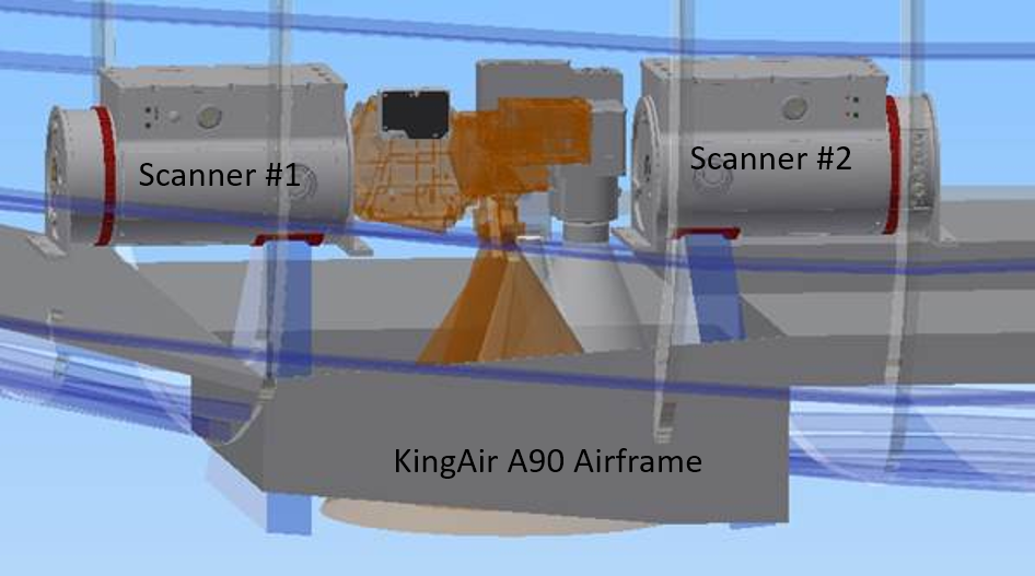
- NIR 1550 nm Laser
- 300 kHz Pulse Repetition Rate
- 0.3 mrad Laser Beam Divergence
- Real Time Waveform Processing
- Point Density up to 12 pt/m2
- Manufacturer Datasheet
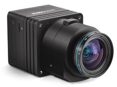
2. VNIR Imaging Spectroscopy

| Micro-Hyperspec E-Series | FIREFLY | |
|---|---|---|
| Spectral bands | Up to 375 w/o binning | 2160 |
| Spectral range | 400nm-1000nm sampled at 1.6nm w/o binning | 670nm-780nm sampled at 0.05nm |
| Spectral resolution | 5nm FWHM | ≤ 0.18nm FWHM |
| Swath width | 420m swath with a 64° FOV and up to 1600 spatial samples | Telecentric 25mm lens with a 23.5° FOV and up to 1600 cross track spatial samples |
3. Broad Band Thermal Imaging: Xenics Gobi-640
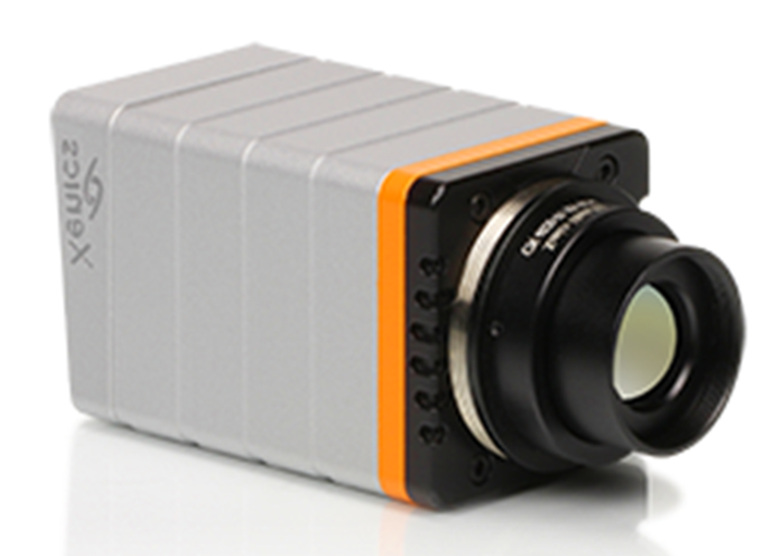
- Uncooled Microbolometer
- 640 x 480 px resolution
- Spectral Band 8 to 15 µm
- Horizontal FOV 42.6°
- 50 Hz frame rate
4. High Resolution Aerial Photos: Phase One IXU-R 1000
- Phase One IXU-R 1000
- Rodenstock 50mm f/4.0 lens
- 56.2° x 43.7° FOV
- Ground Sampling Distance: 4cm
- GPS-IMU Synchronization
- 1 Hz frame rate
- 100 Megapixels
5. Precision GPS-INS: Applanix POS AV V6
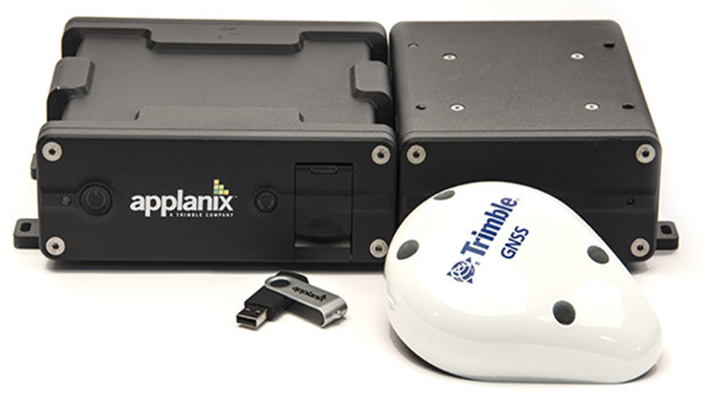
- Airborne Real Time Direct Georeferencing at 200Hz
- POSPac MMS with Center Point RTX Post Porcessing
- 10cm horizontal & 20cm vertical position accuracies