
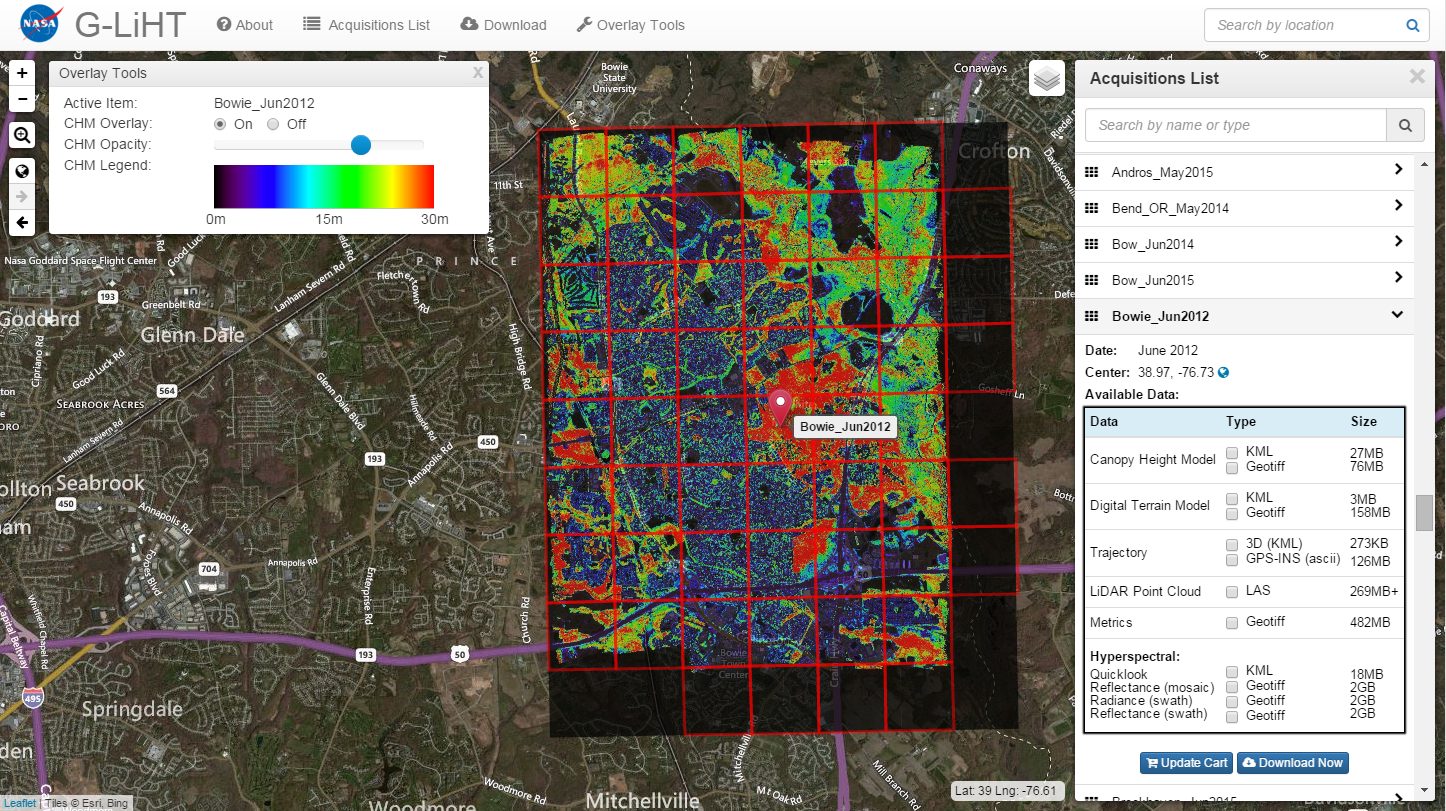
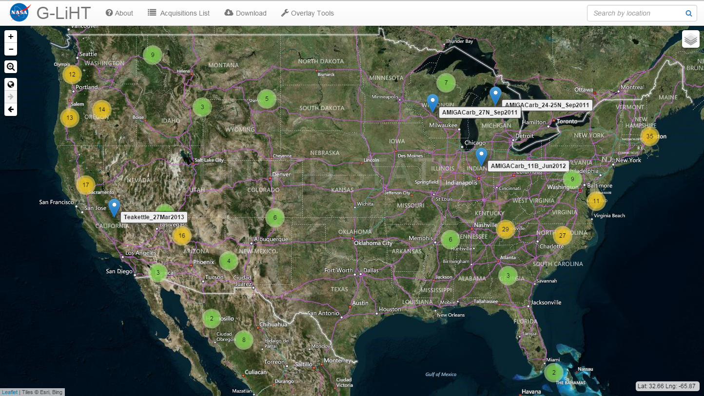
Data Portal
Use the G-LiHT Data Center Webmap to download data:
- or -
browse available data at https://glihtdata.gsfc.nasa.gov/files/G-LiHT/
April 17th, 2019: We will be discontinuing the use of a public ftp server by summer 2019. As an alternative way to download many files at once, we recommend the following command line commands:
| Linux | wget --input-file="GLIHT_URLS_NEWLINE_SEPARATED.txt" |
| Mac | xargs -n 1 curl -Ok < "GLIHT_URLS_NEWLINE_SEPARATED.txt" |
|
Windows 10+ (for older versions, download curl) |
for /f "delims=" %u in (GLIHT_URLS_NEWLINE_SEPARATED.txt) do curl -Ok "%u" |
Data Policy
NASA’s Earth Science Program and promotes the full and open sharing of data with all users, in accordance with NASA's Data and Information Policy.
Every effort has been taken by the G-LiHT team to ensure that accurate, well-calibrated data is released in a timely manner. In addition, we rely on data users to provide us with feedback to continually improve our data processing algorithms and higher-level G-LiHT products. If users should discover mistakes or anomalies in the data products, we would appreciate hearing from you.
G-LiHT scientists are willing collaborators who will be able to share their scientific expertise, first-hand knowledge of the acquisitions, and unique insight on the interpretation of these data. You have the option to request collaboration and co-authorship from the G-LiHT team, but this is not mandatory to use the data.
G-LiHT is a PI-lead instrument that was designed, assembled and maintained using funds from competed research grants. These funding sources should be acknowledged when publishing studies with G-LiHT data, and we request that you please contact the PI (see below) if you have questions about acknowledging G-LiHT data. Also, we would appreciate notification of your publications and presentations so that we can add them to the growing list of G-LiHT citations.
For more information about G-LiHT and these data, please contact us.
Data Products and File Formats
| LiDAR |
|
| Spectroscopy |
|
| Thermal |
|
Calibrated and georeferenced data products are available in LAS (lidar point clouds), floating point GeoTIFFs (gridded products), and Keyhole Markup Language file formats (flight trajectories; GeoTIFF superoverlays).